AD 1748 · 18th century · Rome
Nuova Pianta di Roma
Nolli’s ichnographic plan joins streets and accessible interiors in a white field whose public-private grammar remains inspectable.
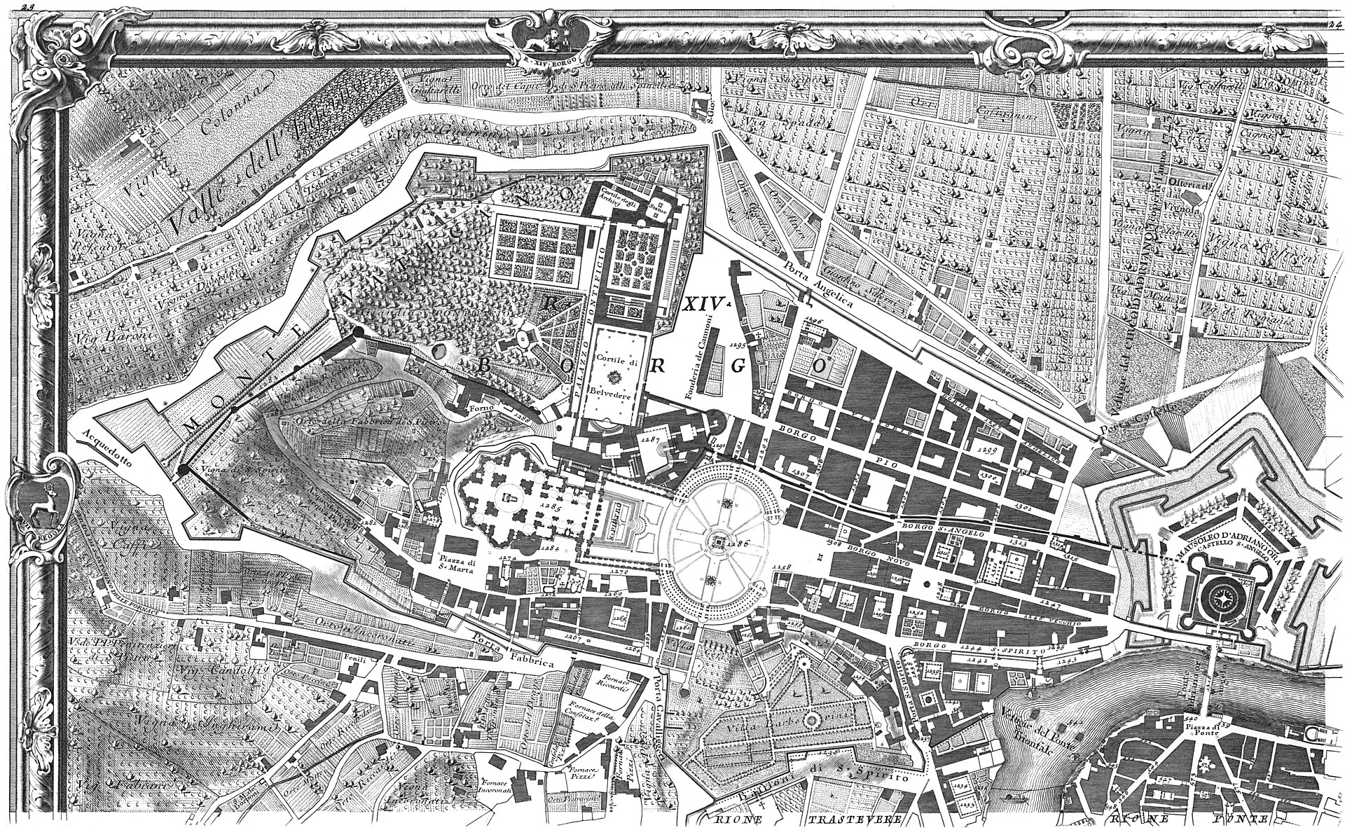
Catalogue record
| Cartographer | Giambattista Nolli |
|---|---|
| Scale | Approximately 1:2,900 |
| Medium | Copper engraving on twelve sheets |
| Provenance | Public-domain institutional witnesses |
Tags
- Rome
- survey
- figure-ground
- public interior
- georeferencing
Related essays
Related maps
- Forma Urbis Romae · AD 210
- Pianta di Roma · AD 1551
- Plan de Turgot · AD 1739