
Room 2 of 7
The Map
Cartography, projection, and navigation - the craft and argument of the map itself.
This is the room where the map turns to look at itself. Projection, scale, symbol, and survey are not neutral techniques but arguments - each a claim about which distortions are worth accepting so that others can disappear. The Map asks: what does every gain in accuracy, usability, or control quietly cost somewhere else? Read against the grain, eight thousand years of world-mapping become a ledger of such sacrifices - the sphere flattened, the coastline generalised, the unknown filled with confident ornament. Here the craft is inseparable from its politics: to measure is already to decide what counts as worth measuring. We treat the map not as a window onto the world but as a made thing, with a maker, a method, and a motive - and we ask what each of those leaves in shadow.
The room's anchor
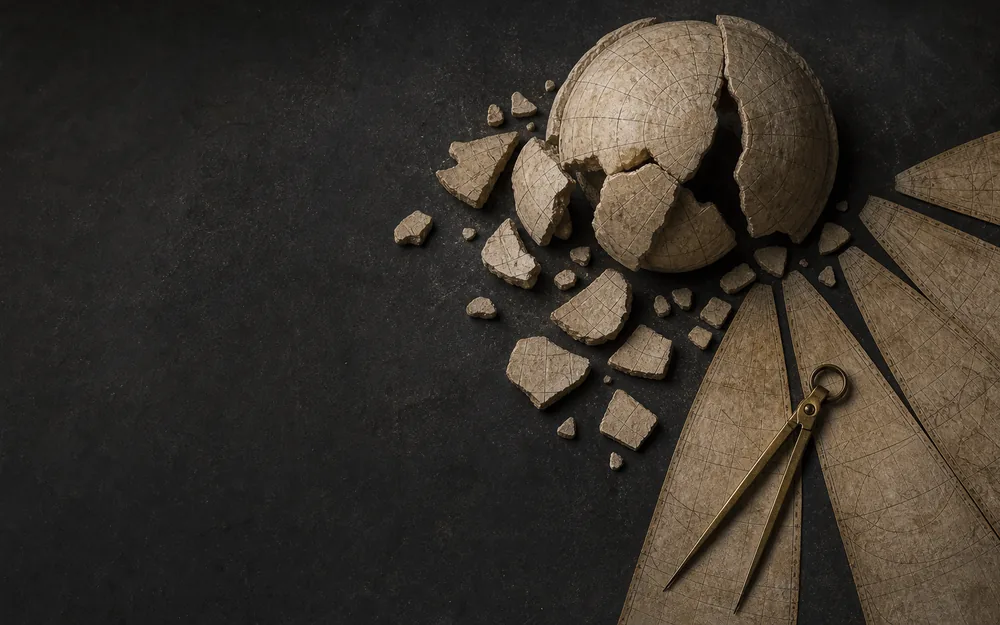
The Cartographic Sacrifice
A Non-Linear History of Mapping
Eight thousand years of world-mapping read against the grain: every leap in accuracy, usability, or control exacts a quiet sacrifice in some other way of understanding space.
Essays that pass through
Chapters in this room
- The lapidarium, stone by stone in Terra Sigillata · Lapidarium Dacicum
- One island, two maps in La Rotta e il Catasto
- Correction without rupture in Maps That Age
- What measurement can and cannot say in Maps That Age
- An overlay is an argument in Cities Remember
- The lines a sequence earns in Nomen Errans
- The sea becomes legible as the institution fragments in The League That Left No Map
- The comparison desk in Terra Sigillata · Lapidarium Dacicum
- The evidence up close in La Rotta e il Catasto
- The instrument - any chart against any survey in La Rotta e il Catasto
- A plate is not a file in Maps That Age
- When east is up in Invisible Maps of Religion
- Public and private ground in Cities Remember
- The careers of the word in Nomen Errans
- What a name can and cannot prove in Nomen Errans
Atlas layers
- Depicted extents (corpus) The area each corpus map depicts - one footprint polygon per map, keyed by mapId.
- Dacia name attestations (reviewed) Where a source does or does not name a place in the Dacia corpus. This layer carries only records cleared by human review, and is empty until that review happens.
- Dacia name attestations (research tier, unreviewed) The full CND 1.0 release candidate: every compiled attestation including silences and normalized imports, none of it cleared by human review. Records here may not be cited as established evidence.
- Roman Dacia · principal sites Legionary fortresses, road stations and mining centres of the province. Every point is the corpus's own reference location for that place, carrying the corpus's provenance: none is an excavated centroid.
- Roman Dacia · roads and frontier corridors The province drawn as a network: roads are lines through attested stations, and the limes are corridors this project drew. Nothing here is digitised from a survey, and the dashes say which is which.
- Principalities and provinces, 1526-1859 Wallachia, Moldavia and Transylvania as dated phases rather than as one timeless outline, so that Habsburg Oltenia, Bukovina and Russian Bessarabia appear when they existed and not before. The rings are editorial envelopes, not delimitations.
- Josephinian survey · sheet index Where the First Military Survey of Transylvania, 1769-1773, covers the corpus. Each footprint links to the repository that holds the sheet; no scan is served from here, and the footprints are reconstructed rather than taken from the archive index.
- Treaty frontiers, 1829-1947 What each settlement moved, as dated phases. Not one instrument in the source ledger has delimitation geometry this project can use, so every line is drawn and declared editorial; where two sources give different lines for one moment, both are kept rather than averaged into a frontier nobody proposed.
- Terra Australis, the conjectured south (unreviewed) The region within which early modern maps drew a southern continent, as a schematic envelope rather than a coastline. No map in the register has been examined, so there is nothing to digitise, and drawing a plausible outline would manufacture the confidence this layer exists to question.
- Antarctic observations and fixes (unreviewed) Dated positions from Cook to the loss of Endurance: farthest souths, the contested sightings of 1820 and 1840, the nineteenth-century landfalls and the Endurance sequence. A sighting is filed as a report rather than an observation wherever what was seen is still argued over.
Collection sheets
- Babylonian World Map The Imago Mundi - earth as a disc ringed by the bitter river.
- Eratosthenes' World A measured earth: the first grid of parallels and meridians.
-
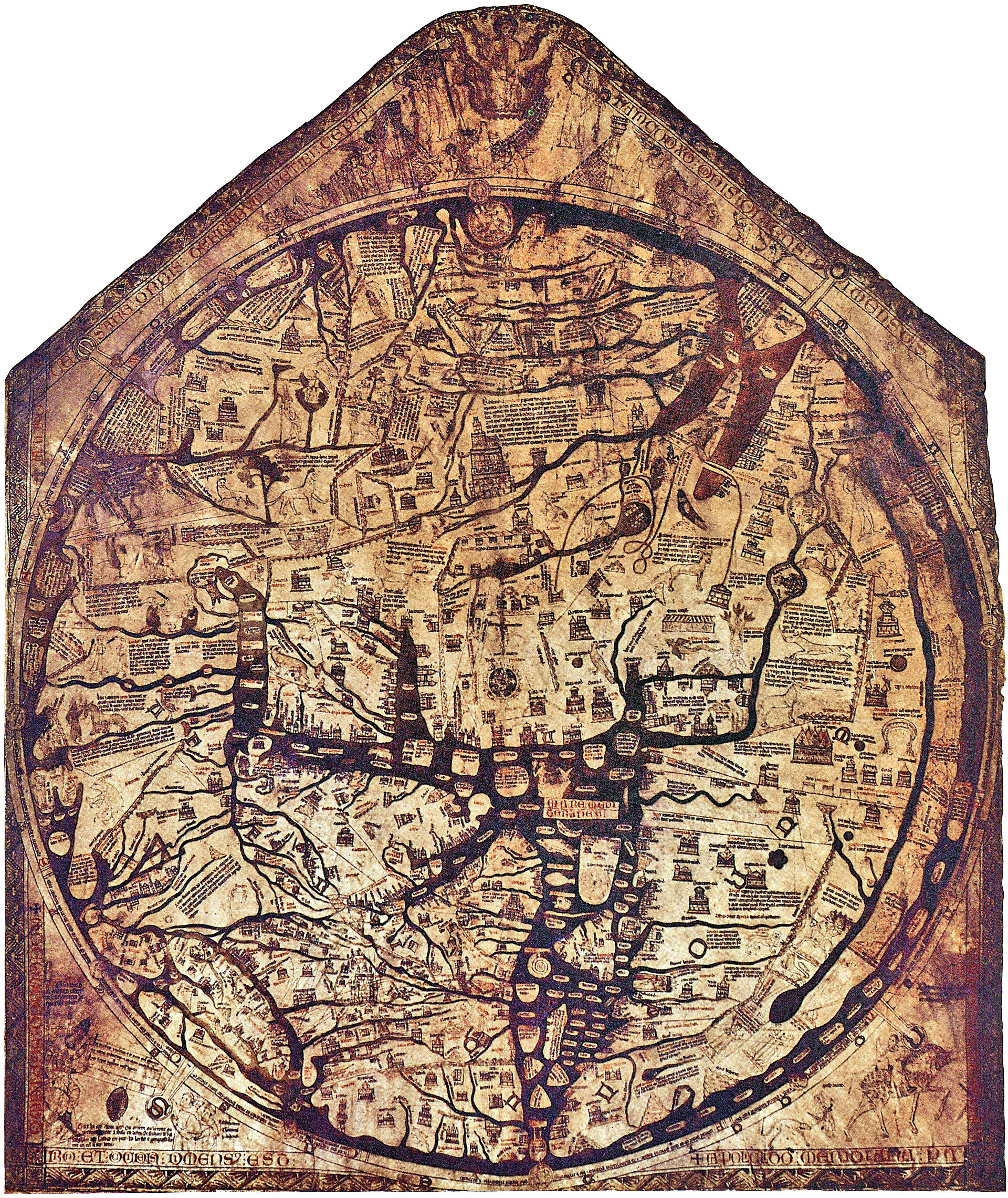 Hereford Mappa Mundi An east-up, encyclopedic Christian world gathered around Jerusalem on a single monumental skin.
 -
 Saint-Sever Beatus world map An east-up world in an Apocalypse commentary joins geography to apostolic and sacred history.
 -
 Ebstorf world map Known through photographs and facsimiles, the monumental world was figured within the body of Christ.
 -
 Psalter world map A compact east-up world image makes encyclopedic sacred geography available inside devotional reading.
 -
 T–O map in the first printed Etymologiae A small woodcut transmits an inherited tripartite world as a portable printed diagram.
 - Mercator Projection Rhumb lines made straight - navigation bought with area.
- Carte de Cassini Triangulation turns a kingdom into a survey.
- The Blue Marble Earth seen whole, from outside - the photographic map.
-
 Eastern Mediterranean portolan Pietro Vesconte’s signed chart presents the eastern Mediterranean as an ordered sequence of coasts and crossings.
 -
%20atlas.jpg?width=1400) Western Mediterranean from a portolan atlas A western Mediterranean atlas leaf extends Vesconte’s navigational grammar across a second maritime field.
Western Mediterranean from a portolan atlas A western Mediterranean atlas leaf extends Vesconte’s navigational grammar across a second maritime field. - Portolan leaves from the Andrea Bianco atlas Andrea Bianco’s atlas binds portolan leaves, tables and cosmographic material into one Venetian working manuscript.
- Forma Urbis Romae The Severan marble plan survives in 1,186 known fragments, turning the mapped city into an evidence problem of joins, proposed locations and absences.
-
 Pianta di Roma Bufalini’s large printed plan joins ancient enclosure, papal Rome and surveyed urban fabric on a continuous surface.
 -
 Plan de Turgot Twenty sectional plates assemble an oblique, building-by-building performance of eighteenth-century Paris.
 -
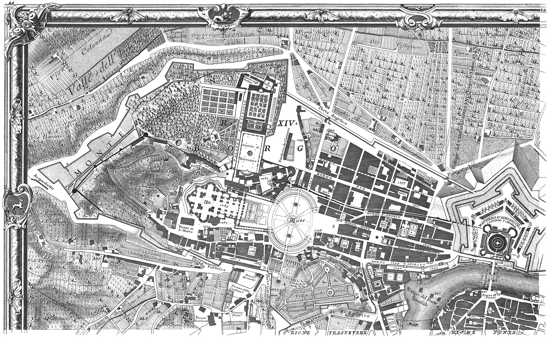 Nuova Pianta di Roma Nolli’s ichnographic plan joins streets and accessible interiors in a white field whose public-private grammar remains inspectable.
 - Sanborn fire insurance map of Buffalo, volume 1 A 110-sheet insurance volume remembers blocks as materials, uses and hazards selected for commercial risk assessment.
-
 Typus Orbis Terrarum, plate 1, state 1.1 The first documented state of Ortelius’s opening world map, before wear and repair accumulated on its copperplate.
 -
 Typus Orbis Terrarum, plate 1, early impression A high-resolution early impression provides a second witness to the plate before its documented corner repair.
 -
 Typus Orbis Terrarum, plate 1, 1572 impression A 1572 impression keeps the early plate visible across the atlas’s rapid first sequence of language editions.
 - Typus Orbis Terrarum, plate 1, state 1.3 Bolt impressions at the lower-left corner record an attempt to stabilise a crack in the working plate.
-
.jpg?width=1600) Typus Orbis Terrarum, plate 1, state 1.4 The repaired crack and reworked clouds make this high-resolution impression the essay’s witness to managed age.
Typus Orbis Terrarum, plate 1, state 1.4 The repaired crack and reworked clouds make this high-resolution impression the essay’s witness to managed age. - Typus Orbis Terrarum, plate 1, state 1.5 A newly added date coexists with progressively fading hachuring near the end of the first plate’s working life.
-
 Typus Orbis Terrarum, plate 2, state 2.1 The short-lived second plate renews the familiar composition while preserving corner clouds and an initial 1586 date.
 - Typus Orbis Terrarum, plate 2, state 2.3 A recut South American coastline makes geographic revision visible inside the renewed but familiar plate.
- Typus Orbis Terrarum, plate 3, state 3.2 A posthumous state adds Le Maire Strait and removes the old date while retaining the Ortelian world-map identity.
- Ptolemy Geographia Coordinates for 8,000 places - cartography as a table of numbers.
- Waldseemüller World Map The map that first wrote "America".
- Ortelius Theatrum The first modern atlas - the world bound as a book.
- Carta Marina et descriptio septemtrionalium terrarum Olaus Magnus makes the northern seas dense with places, creatures and movement as Hanseatic institutions enter a later phase.